Petal
Export requires geopandas (not installed).
Location: Petal MS
Parcels: 2
Site Area:
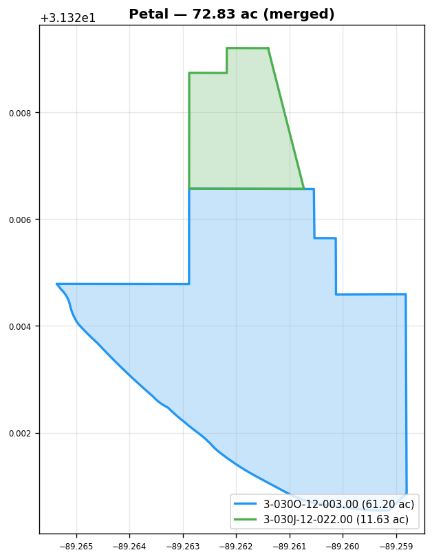
72.83 ac
Parcels
| Name | PIN | Acres | File | |
|---|---|---|---|---|
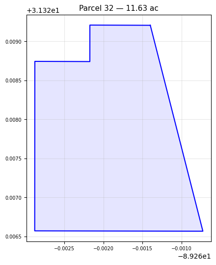
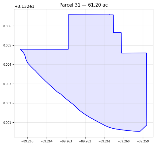
| 3-030O-12-003.00 | 28844 | 61.20 | petal_river_parcels_(1).geojson | |
| 3-030J-12-022.00 | 30607 | 11.63 | petal_river_parcels_(1).geojson |
Upload Parcel
Recompute Merged Boundary
Dissolves internal lot lines between parcels to produce the composite site boundary.
Export Parcels
Download all parcels as a single file (includes lot boundaries and ROW).
State Plane = EPSG:2240 / NAD83 GA West (US Feet). Compatible with HEC-RAS.
Site Boundary (Merged)
3-030O-12-003.00
3-030J-12-022.00